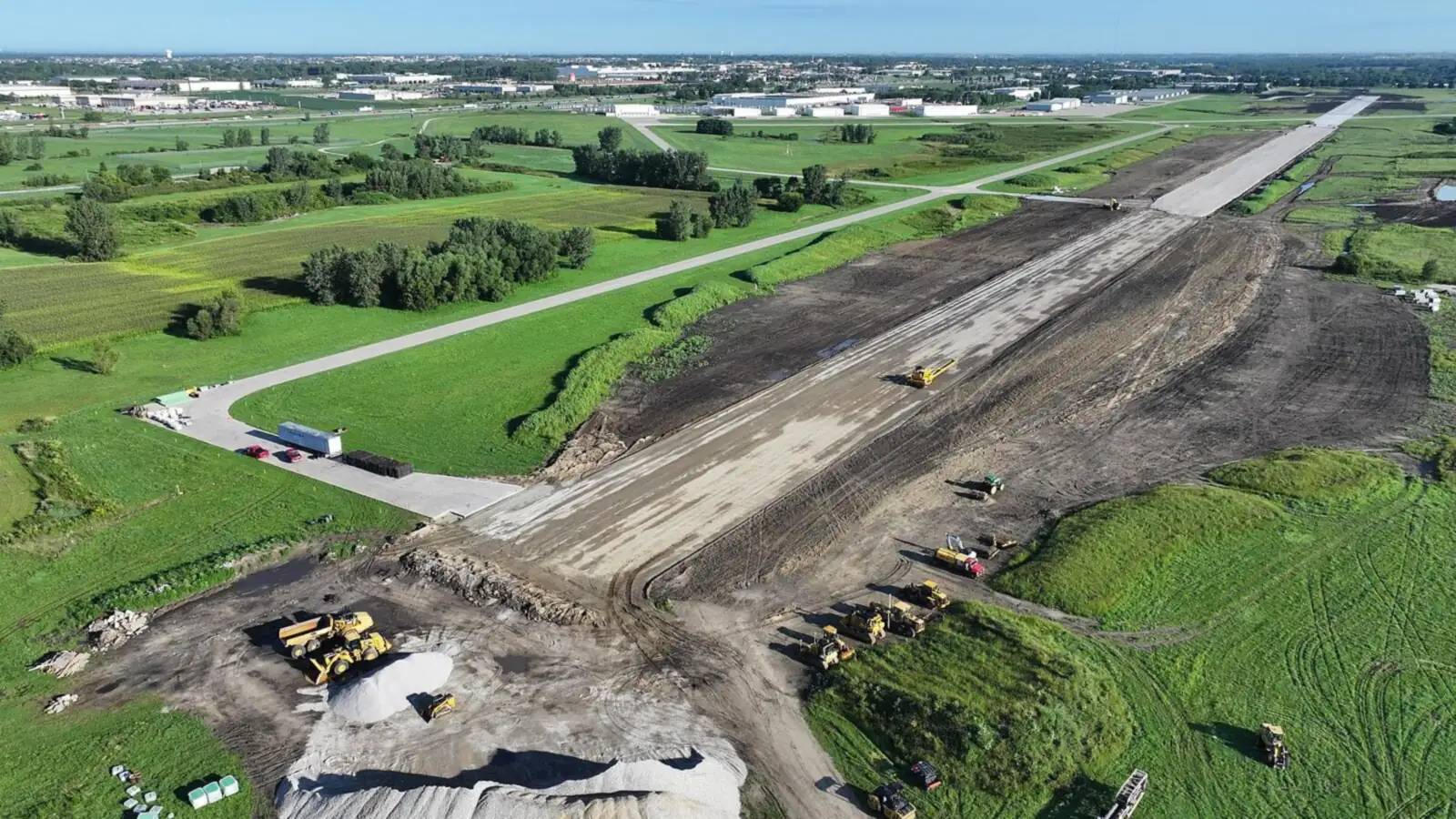
Built for construction.
Trusted on critical projects.
Aerial documentation for Central Iowa’s largest commercial builds and hyperscale data center campuses. Same flight plan. Same delivery cadence. Within 24 hours — for over 10 years.
- FAA Part 107
- OSHA 30
- $5M General + $5M Aviation Liability
- Owner-operated since 2014
Who We Are
Precise data.
Dependable delivery.
Waukee Aerial is a Central Iowa–based drone services company. For over 10 years we've documented commercial construction and data center campuses for contractors, developers, and project managers — flown under FAA Part 107 with the same flight plan on every visit, and delivery inside 24 hours. We understand superintendent coordination, safety protocols, and the cadence of a live construction site. Our workflow is built to minimize disruption while maximizing clarity.
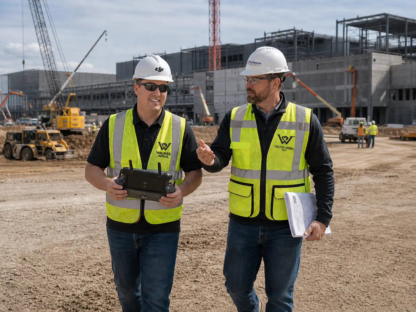
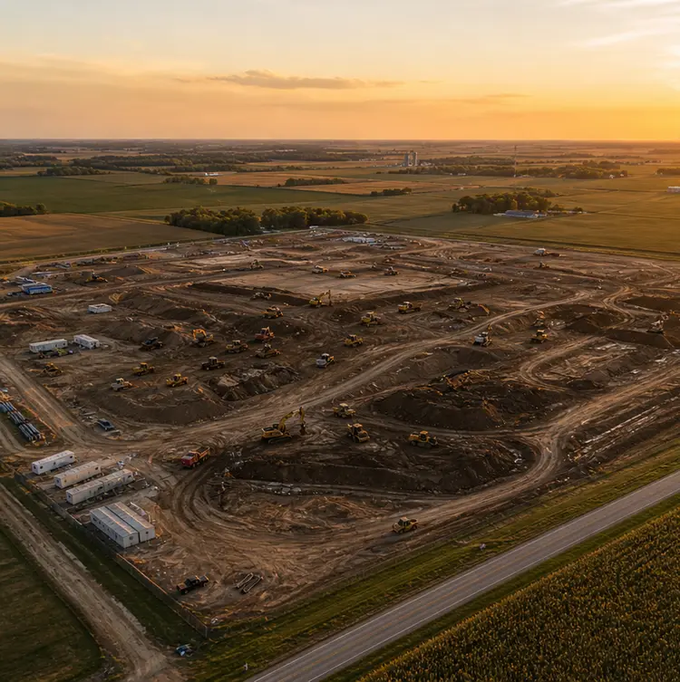
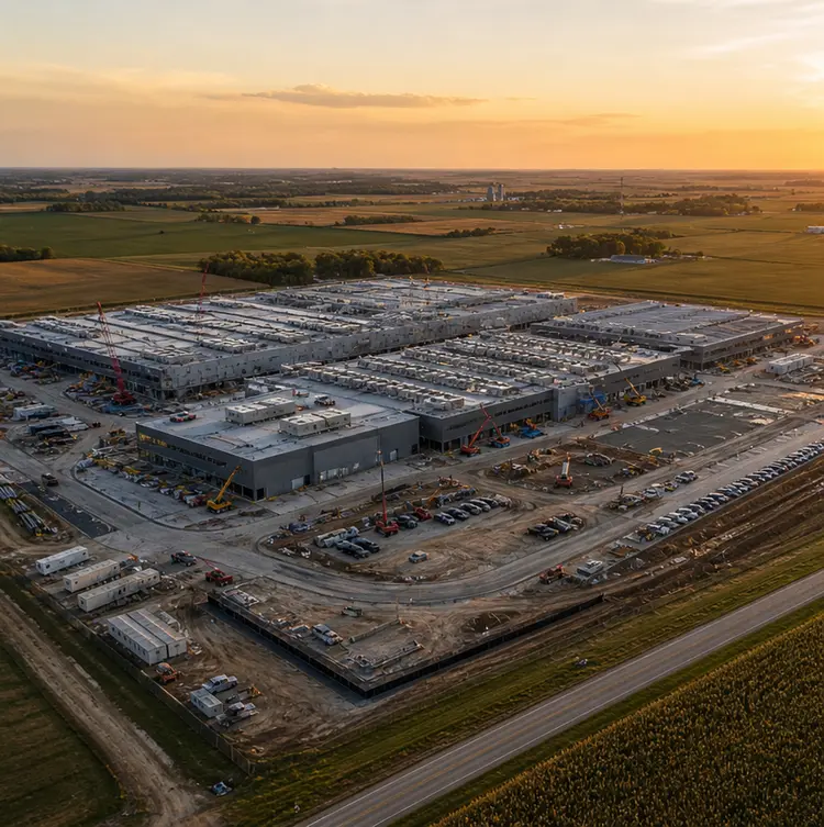
Founder · Owner / Operator
Cameron StotzFAA Part 107 · OSHA 30
Waukee Aerial was founded by Cameron Stotz in 2014. Since 2017 we have been on Central Iowa data center campuses multiple times per week — coordinating directly with general contractors, superintendents, and VDC teams.
We operate as an owner / operator firm, FAA Part 107 certified. Every visit follows the same plan, the same standard, and the same delivery format — so the data your team gets in week 47 matches the data they got in week 1.
- FAA Part 107
- OSHA 30
- $5M General Liability
- $5M Aviation Liability
Why Waukee Aerial
Iowa-based.
Construction-focused.
Headquartered in Waukee, Iowa — serving Central Iowa including Des Moines, West Des Moines, Altoona, Ankeny, and surrounding commercial corridors.
Zero safety incidents across 10+ years of active commercial site operations — on hyperscale data center campuses, multi-trade jobsites, and complex commercial builds. It’s how GCs evaluate us first. Full credentials, insurance, and coordination detail below.
Our core offering is the recurring program. Every flight follows the same plan, the same standard, and the same delivery format — flown by the same operator, visit after visit. Over months and years, that consistency turns aerial footage into a genuine project record — one of the most valuable documentation assets on the build.
RTK-enabled platforms deliver consistent positional referencing on every mapping flight. We fly DJI Mavic 3 Enterprise series — professional-grade equipment because the data has to be right. Orthomosaics, 3D models, and point clouds built for teams that need real spatial data, not just overhead imagery.
Deliverables that are named, dated, organized, and ready to use — not a folder of unnamed exports. 24-hour turnaround. Clear communication before, during, and after every visit. We don't create extra work for your team. We eliminate it.
Safety-First Operations
Active job sites demand
active safety standards.
Waukee Aerial operates on active commercial construction sites with full awareness of jobsite safety requirements. Safety and professionalism are foundational to every deployment.
Every flight is operated under FAA Part 107 commercial certification. Airspace coordination, site authorization, and regulatory compliance handled on every deployment.
$5,000,000 general liability and $5,000,000 aviation liability insurance. Certificate of insurance available on request — no delays getting approved before your project starts. We carry enterprise-level coverage because our clients demand enterprise-level standards.
Zero safety incidents across 10+ years of active commercial site operations. OSHA 30 certified. We understand superintendent coordination, PPE requirements, multi-trade environments, and the safety culture expected on complex job sites. Minimal disruption, maximum professionalism.
What We Work On
Large-scale builds.
Long-term programs.
We work primarily on large-scale commercial and mission-critical builds across the Des Moines metro and beyond.
Data centers, warehouses, industrial facilities, and major infrastructure projects requiring consistent aerial documentation across multi-phase, multi-year builds.
- Hyperscale data center campuses exceeding 600+ acres
- Multi-phase commercial developments
- Industrial facilities and warehouse construction
- Major public infrastructure projects
Our core offering is the recurring program — weekly or bi-weekly site visits on a consistent schedule, delivering standardized outputs that build a reliable visual record over time.
- Long-term weekly documentation programs
- Clear progress tracking across every phase
- Reliable executive reporting visuals
- A documented timeline of construction milestones
RTK-enabled mapping for consistent positional referencing. Orthomosaic deliverables and 3D models built for teams that need real spatial data, not just pretty pictures.
- RTK-enabled orthomosaic mapping
- 3D point clouds and models
- Volume measurements when applicable
- VDC and BIM team deliverables
We focus on professional, long-term commercial partnerships with teams that value consistency, precision, and clear communication.
- Commercial developers
- Data center contractors
- Construction managers
- VDC / BIM teams
- Industrial project stakeholders
Planning a multi-phase build
or a recurring documentation program?
Tell us about the project — we respond within one business day with a proposal and flight schedule.
Pilot Network
Join Our Pilot Network
As we expand coverage across Iowa, we're building a network of reliable, professional pilots who hold our standard for safety, consistency, and on-time delivery. If that sounds like you, we'd like to talk.
Talk to us →Requirements
- Valid driver's license
- FAA Part 107 certification
- Pass a background check
- Based in Iowa — our primary service area
General contractors and design firms we document for
Active or completed engagements.
Featured case study · NDA-protected
Iowa Hyperscale Data Center — 18-month documentation program
72+ weekly flights, RTK orthomosaics for the VDC team, phase-milestone 360° captures, and procurement-ready credentials delivered into Procore + DroneDeploy + Bluebeam.