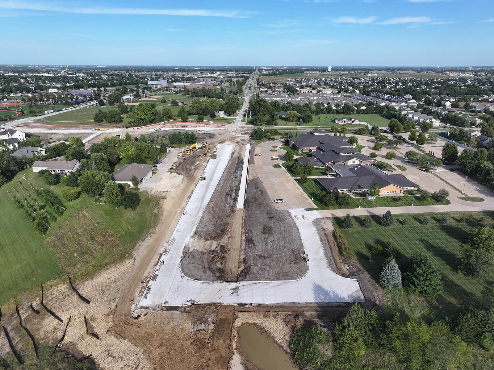
Aerial Progress Documentation
University Avenue
ExtensionClosing the 0.7-mile gap
Waukee’s $15.8M corridor connection, documented from the air — 360° panorama, aerial video and stills, on one page your whole team can open.
- Corridor gap
- 0.7mi
- Phase 1 value
- $15.8M
- Aerial stills
- 09
- Captured
- Sep2026
From the air over the corridor
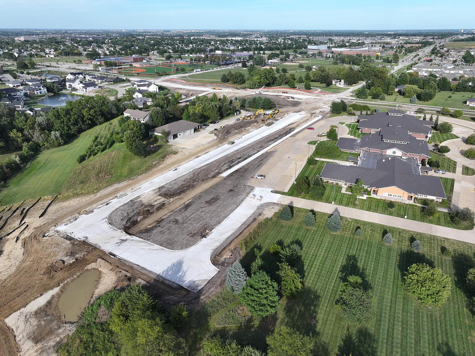
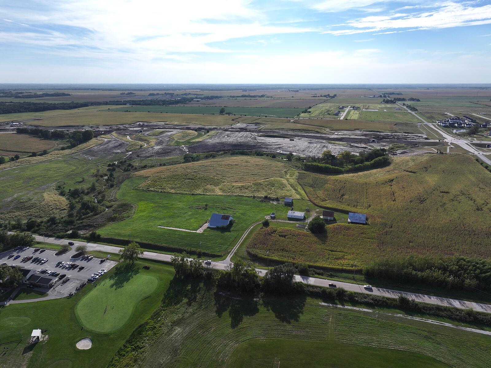
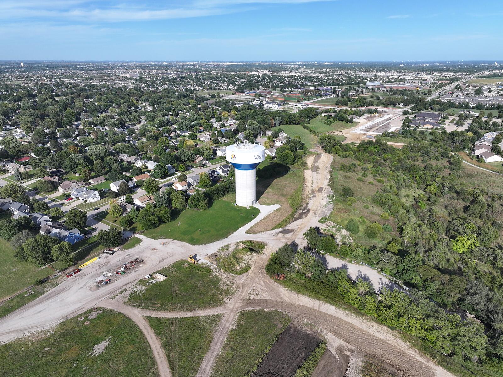
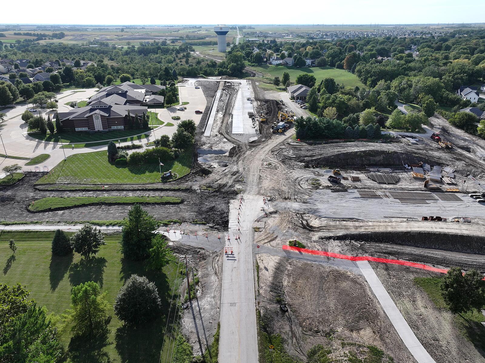
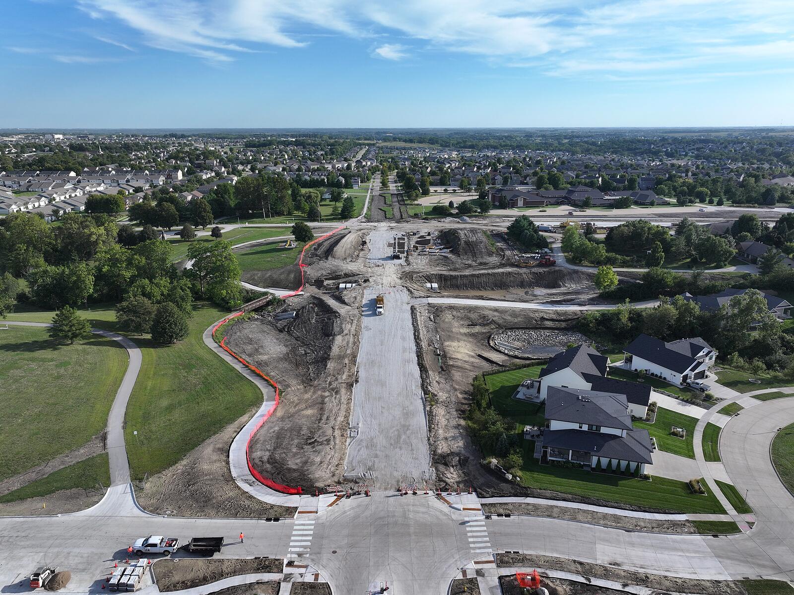
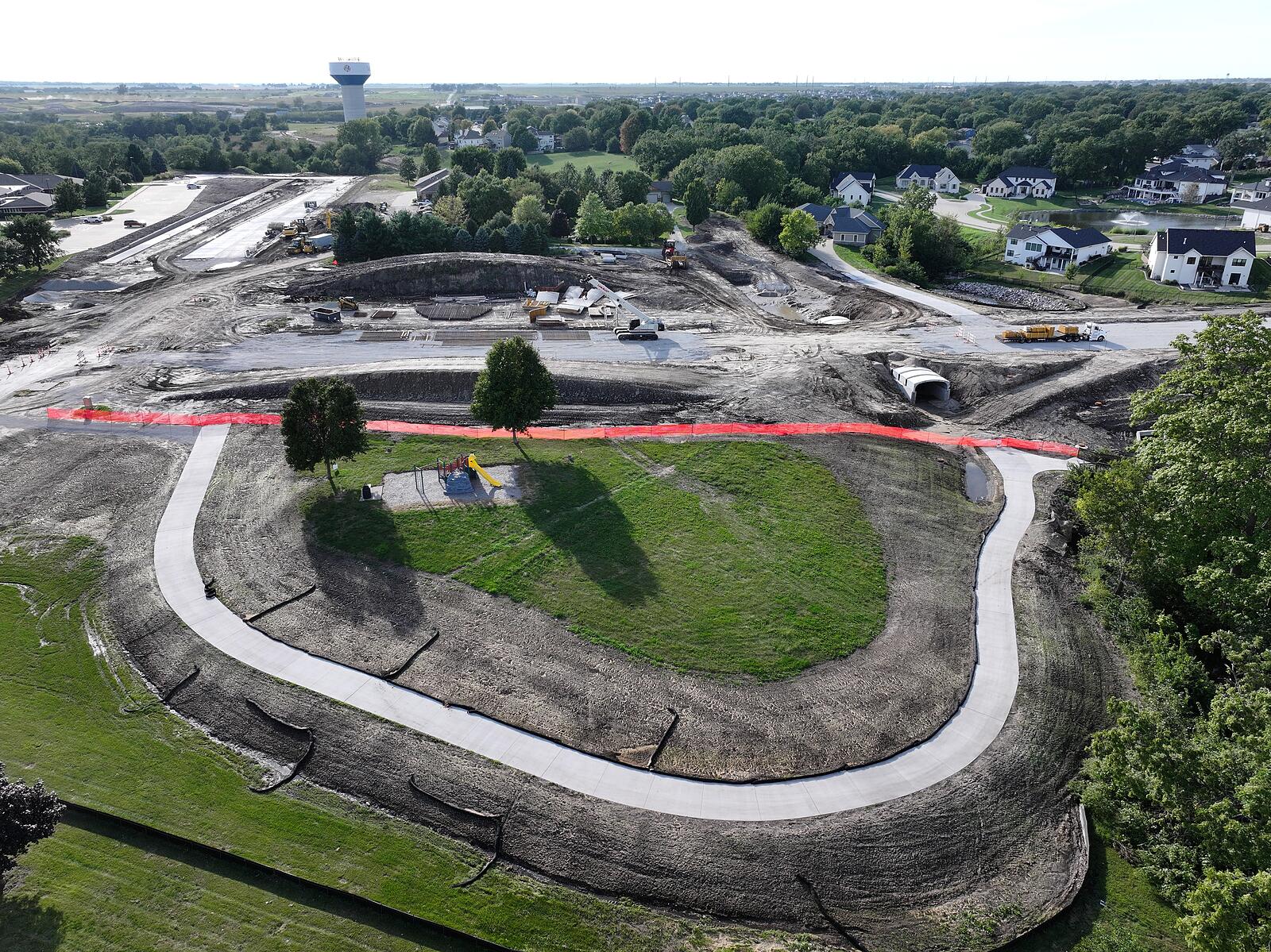
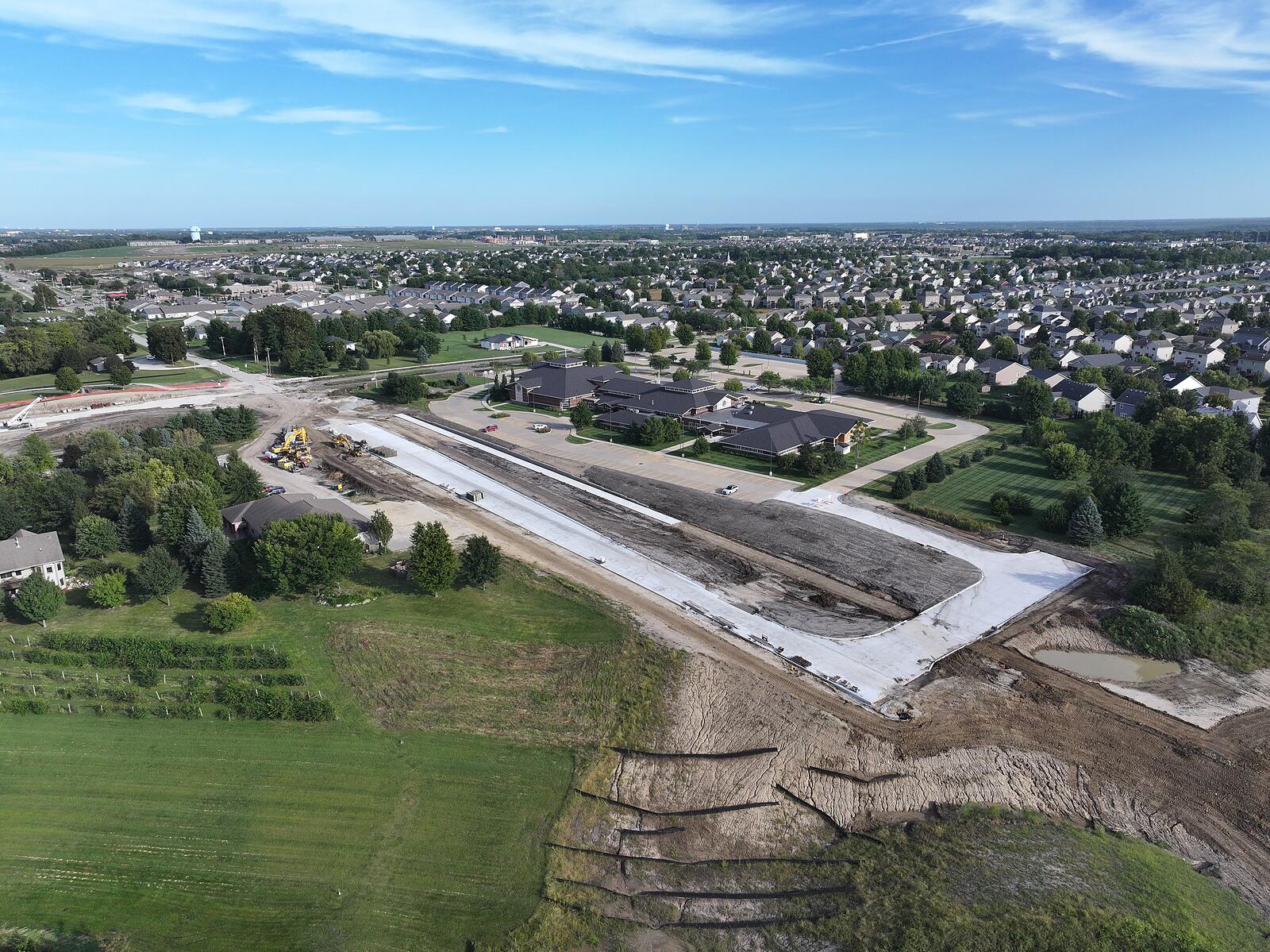
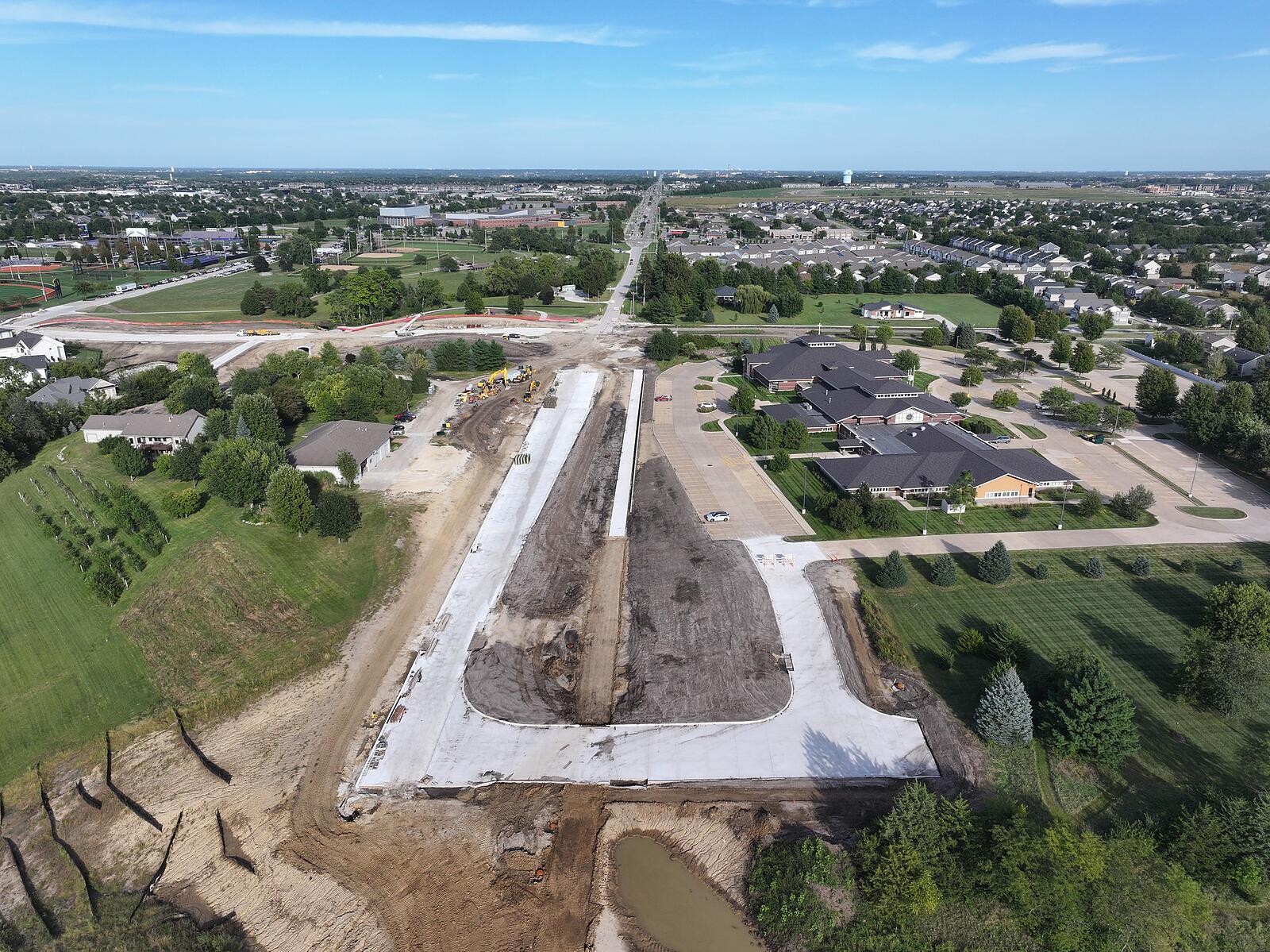
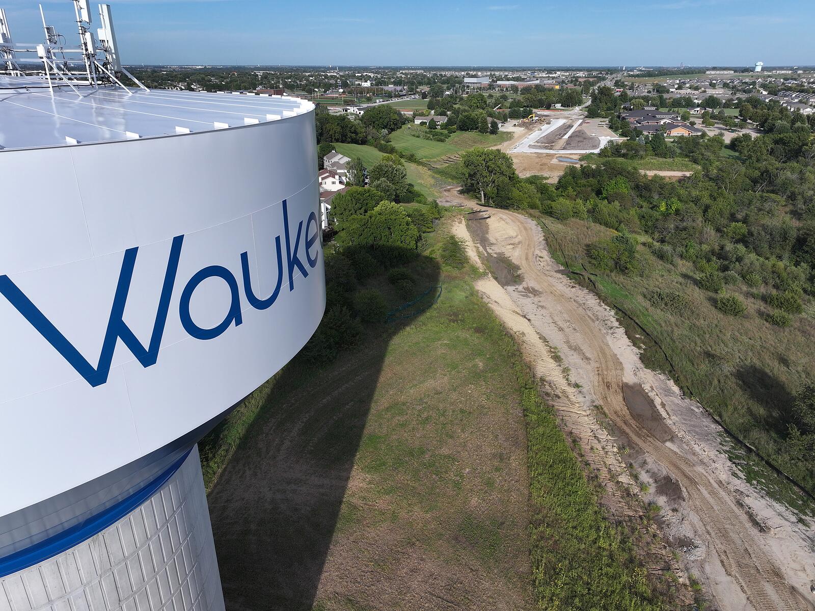
Mass grading is complete and the first pavement is down between S Warrior Lane and 6th Street. A 360° panorama, an aerial video and nine stills from one flight — a self-funded demonstration capture flown from public airspace, not a client engagement.
360° Aerial Panorama
Drag to look around • Pinch or use + / − to zoom • Expand for fullscreen
Aerial Photos
Put your project on a page like this
Recurring flights on your schedule. 360° panoramas, aerial video, stills, orthomosaic maps and 3D models — delivered to a hosted progress page, your shared folder, or your construction-management platform.